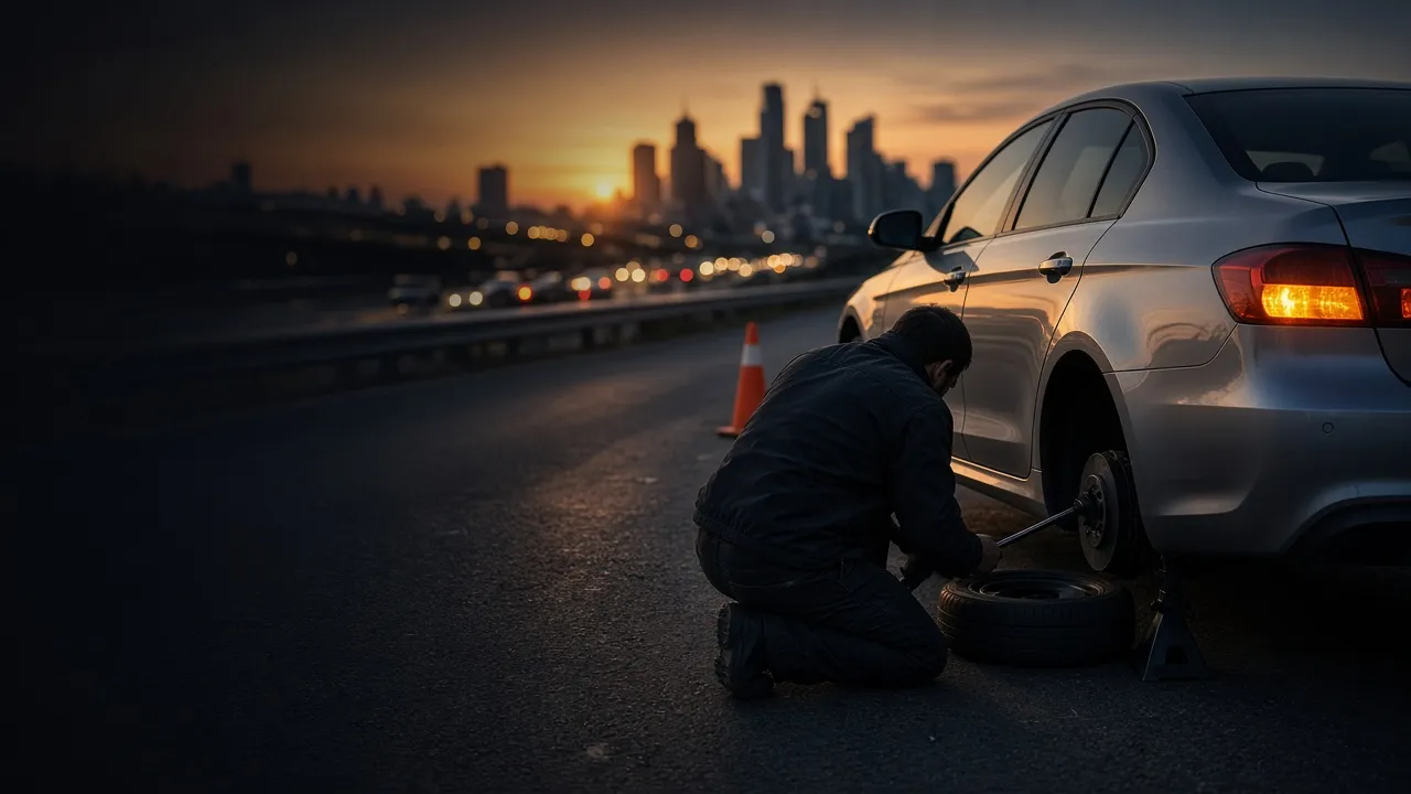
Flat Tire Change Service in Bakersfield, CA
Flat on the driveway, a lot, or the shoulder? Get a roadside tire change in Bakersfield without towing a car that only needs its spare.
Enter the Bakersfield ZIP where your car is
- Spare installed at your location
- Price confirmed before work
- Call or request online
Where Bakersfield drivers get flats
Our Bakersfield flat tire change service is simple: you tell us where the car is, a local operator drives out, removes the flat, and installs your spare so you can get to a tire shop on your own wheels. Bakersfield sits in Kern County and counts roughly 422,165 residents in the Census Bureau's 2025 estimate, the 9th-largest city in California. Whether the car is on the shoulder of I-5 or parked outside a grocery store, the process is the same: share the location, then confirm the details on the phone.
By length within city limits, I-5 leads Bakersfield's interstates at about 1.9 miles. You will also see State Route 99, State Route 178, and State Route 58 on the map, all state-maintained routes. Ask anyone in Bakersfield for directions and you will hear names like Westside Parkway, Alfred Harrell Highway, Taft Highway, and Rosedale Highway. If a tire fails on a limited-access road, the safest move is usually to keep rolling slowly to the next exit or a wide shoulder, then tell dispatch the exit number or nearest mile marker.
The closest major airport, Meadows Field (BFL), sits roughly 5 miles to the north.
Main routes in Bakersfield
- I-5
- State Route 99
- State Route 178
- State Route 58
- Westside Parkway
- Alfred Harrell Highway
- Taft Highway
- Kern Canyon Road
- South Union Avenue
Road names: U.S. Census Bureau TIGER/Line 2024 primary and secondary roads within or along Bakersfield city limits.
How Bakersfield weather affects your tires
Every city wears tires differently. Here is what the 2024 weather data says about Bakersfield.
Only 35 wet days
Dry climate, dusty shoulders: Bakersfield saw measurable rain on just 35 days in 2024. Dry rubber ages faster in UV, so spares that sit unused in the trunk for years are worth checking.
142 days at 90°F or hotter
That is how many afternoons in 2024 reached at least 90°F near central Bakersfield, per ERA5 reanalysis data. Hot pavement raises tire pressure and stresses tires that are already low, which is when tread separations and blowouts tend to show up.
Arterials and debris
Curb lanes on Kern Canyon Road or South Union Avenue are where nails and broken glass collect. If you feel a pull or hear a rhythmic tick, pull into the next lot instead of the shoulder.
Weather counts: 2024 daily data for central Bakersfield from the ERA5 reanalysis (Open-Meteo historical weather API).
Bakersfield and surrounding communities
Bakersfield shares a border with Benton Park, La Cresta, Casa Loma, Old Stine, East Bakersfield, and Cottonwood. Coverage depends on which local operators are taking calls for your ZIP code, so enter the ZIP where the car is, not your home ZIP.
Location first
The nearest cross street, parking lot name, or highway exit in Bakersfield helps the operator find you.
Confirm the job
Price and arrival time are confirmed with you before anyone starts work.
Back on the road
Your spare is installed and the flat goes in the trunk so a shop can repair or replace it.
- Benton Park2.0 mi southwest
- La Cresta2.3 mi northeast
- Casa Loma2.4 mi south
- Old Stine2.4 mi southwest
- East Bakersfield2.6 mi east
- Cottonwood2.7 mi southeast
- Potomac Park3.1 mi southeast
- Hillcrest3.4 mi east
Neighboring places from Census TIGER/Line 2024 place boundaries; distances measured from central Bakersfield.
Flat tire questions from Bakersfield drivers
Is it safe to change a tire on hot pavement in Bakersfield?
Heat raises tire pressure and adds stress to tires that are already worn or under-inflated. With 142 days at 90°F or more in 2024, keep water in the car, wait in the shade or in the vehicle with A/C if it is safe, and let the operator handle the hot wheel and lug nuts.
What if I don't have a spare tire?
Mention it when you call. Without a usable spare, a roadside tire change is not possible, but you can request a tow to a tire shop instead.
How long until someone reaches me in Bakersfield?
Arrival time depends on local availability and traffic, so it is confirmed on the call rather than promised on a website. The swap itself is usually quick once the operator is with the car.
Do you cover all of Kern County?
Coverage is checked ZIP code by ZIP code rather than county-wide, since operators serve different parts of Kern County. Enter the ZIP where the car is to see the right line.
I have a flat in a parking lot at Meadows Field (BFL). Can someone come?
You can request help, but airport roads and garages have their own access rules. If it is a rental car, check with the rental company first; many require their own roadside provider. Share the exact lot, level, and row.
Do you cover Benton Park and La Cresta too?
Possibly. Each ZIP code is checked against the operators available for that area, so the fastest way to know is to enter the ZIP where the car is right now.
Stuck on a flat in Bakersfield?
Enter your ZIP to reach the local line, or send your details online.